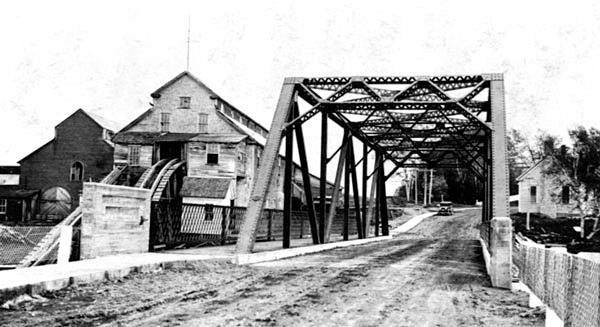
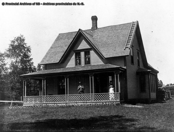
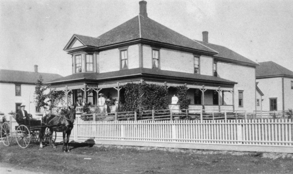
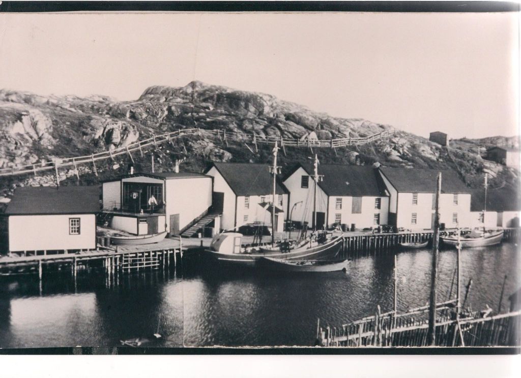
Landscape, Culture and History of the Chignecto Isthmus – Field notes from My Mother’s Cookbooks.
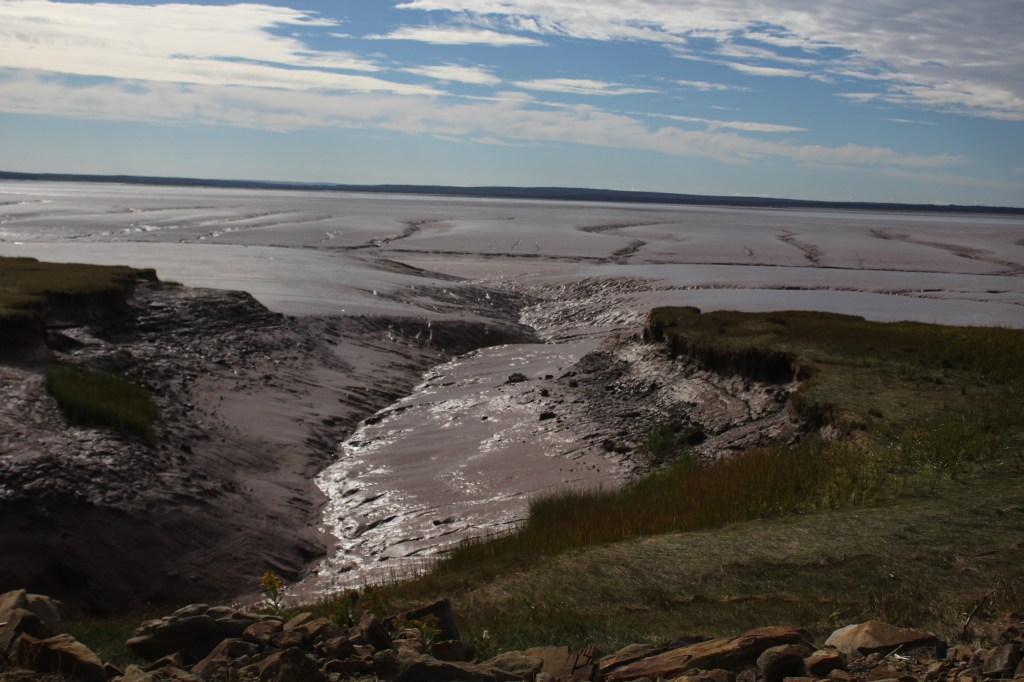
You could be forgiven for missing the historical importance of a place that holds such a small footprint. The narrow land bridge between modern-day New Brunswick and Nova Scotia is just such a place, and you can blame it on location, location, location.
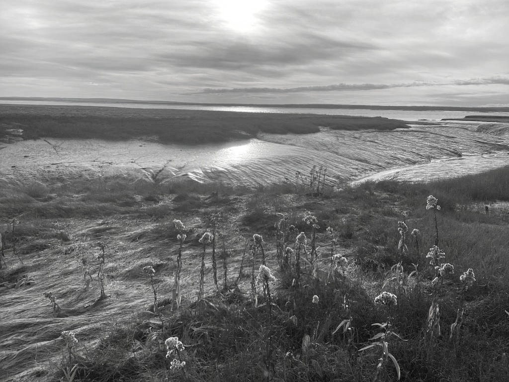
The Chignecto Isthmus is a place of ancient geologic and climatic events. A place where landscape, weather, and culture interact in ways that are as unexpectedly rich and as beautiful as the sculptures created by its tidal rivers. Beauty often has a darker side and Chignecto’s results from the clash of topography and weather.
For the Mi’kmaq, the vast salt-water marshes, peat bogs and sandstone ridges of the Isthmus represented both a place to live and an all-important transportation corridor they called it Siknikt1, or ‘the drainage place’. The Siknikt district of the Miꞌkmaꞌki (or Mi’gma’gi) territory comprised the land bridge, as well as adjacent areas of the region. Paddling and portaging its rivers and marshes permitted travel through-out the territory including between the prolific fish habitats of the Bay of Fundy and the Northumberland Strait.
The variety of plants and roots of the marsh, abundant fish in its rivers and the game of the dense Wabanaki-Acadian2 forest made the isthmus not only a through space, but a living one. The Mi’kmaq of Chignecto were not isolated or insular, they encountered other cultures regularly over millennia, engaging in trade, adopting and adapting. Although the Mi’kmaq claimed territory over the land bridge they shared it as a transport corridor including with their Wabanaki neighbours and kin3.
European interest in the region initially did not interfere with the Mi’kmaq, and their use of the land. Trade in fish and furs did alter it though adding a new layer of activity and movement in Chignecto. Continued waves of European engagement would usher in disruption and change, human conflict, and a forever-altered relationship with the land.
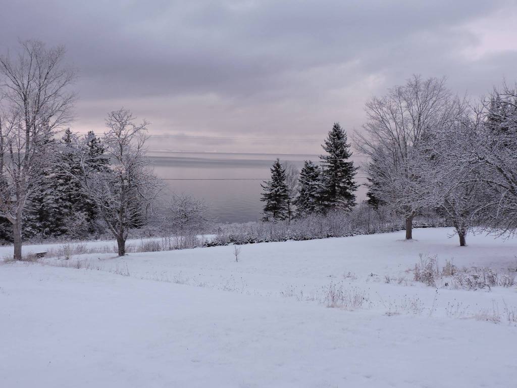
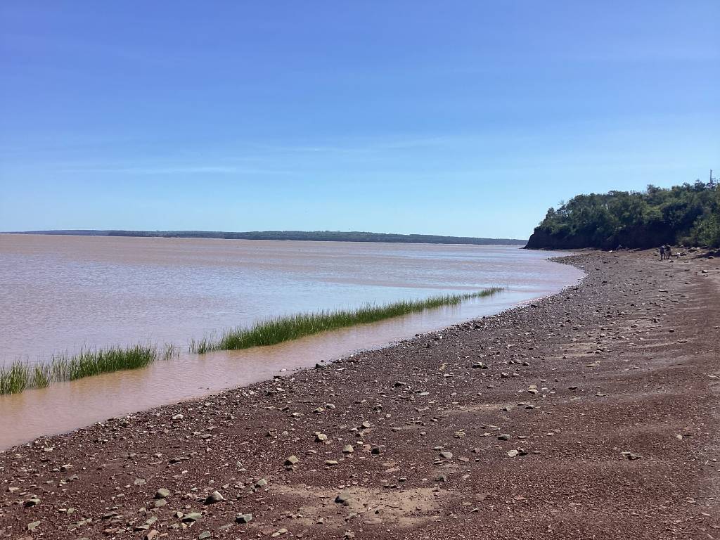
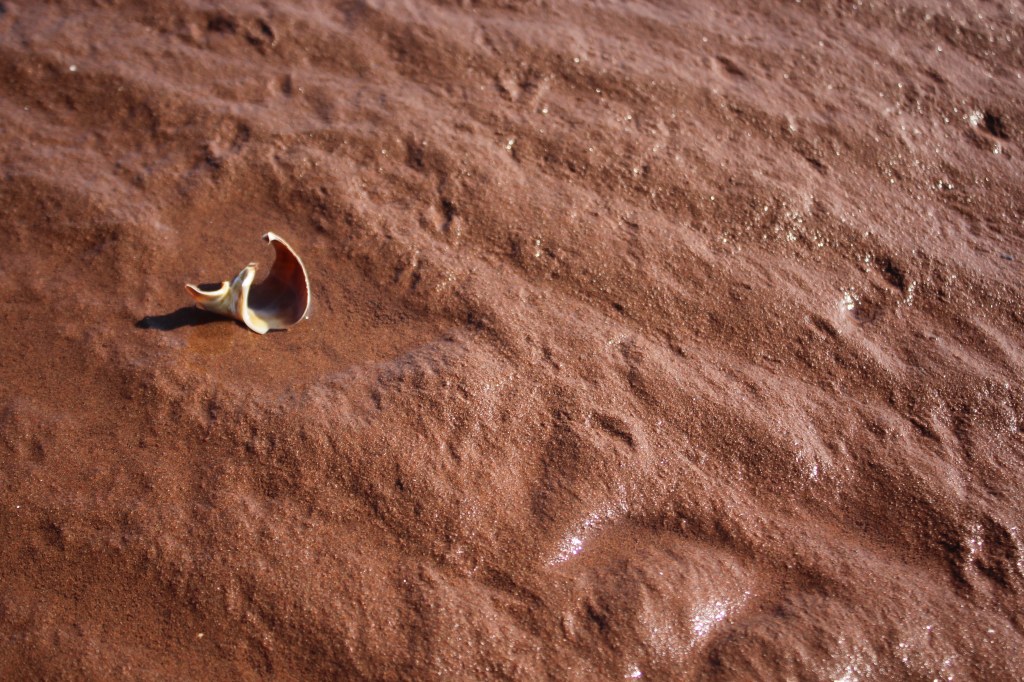
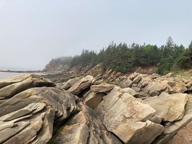
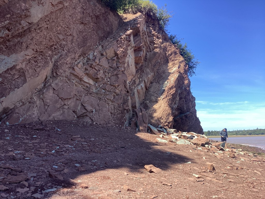
Chignecto bends and flexes with what the tides and weather have to give it, and it is supposed to be that way… The tides of the Bay of Fundy4 are unique, high volumes of tidal water entering a funnel-shaped bay combine with the bay’s tidal resonance delivering hundreds of billions of tonnes of water into the bay twice each day. The tidal rivers, creeks, salt marshes, fens, and peat bogs of Chignecto absorb and accept it. But it is not just seawater… ancient glacial till and eroding iron-bearing sandstone in the basin are churned, and deposited back to the basins and the isthmus. Over thousands of years the twice daily rush of water and sandstone wash created unique, nutrient-rich, prolific terrestrial and marine environments. And chocolate rivers.
To the Mi’kmaq Chignecto was home. To the first Europeans in the region, it represented obstruction to trade. For the traders of furs and fish, moving product along the eastern seaboard, the narrow strip of what they thought of as inhospitable territory meant abandoning ocean-going ships for canoes and portages. A trip around Nova Scotia and Cape Breton to access the North Atlantic and the St. Lawrence represented inconvenience, delay and increased cost. In the era of empire and trade building, an obstruction like Chignecto represented risk, a pinch point, and a place of growing interest.
The first significant group of European settlers in Chignecto were Acadians5, the first group but not the first non-Indigenous settlers. We know longstanding Acadian settlements of Port-Royal, which began in the early 17th century grew into prosperous farming settlements. The relationship between Acadians and Mi’kmaq is both longstanding and rich. Understanding the nuance of their coexistence with the Mi’kmaq during the 17th and 18th centuries remains a work in progress – one complicated by cultural and factual erasure and appropriation.
Some questions have answers, for others none exist, and the gaps are important. Did Acadian farmers and families ask permission to settle in Miꞌkmaꞌki? There is documentary proof in some cases, permission was sought and accommodated. Does that mean all Mi’kmaq and Acadians viewed each other in the same way? Was the coexistence forced or natural? Were there power dynamics like trade and commonality that influenced choices? In the absence of widespread and specific documentation, applying what happened in one incident is risky and leads to assumptions that flatten reality.
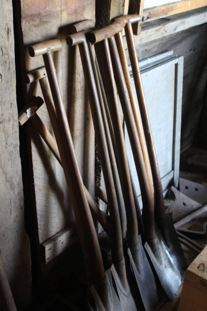
The fact that Acadians placed their homesteads and farms on the land ‘between’, is sometimes cited as the reason why the relationship between the two groups appears largely positive. By reclaiming wetlands and salt marsh from the sea using a complicated water management system of wooden sluice gates and dykes Acadian farmers essentially carved out a living space. These settlements and activities are often described as having a minimal impact on those already living in Chignecto, but minimal impact does not mean no impact.
Exactly how movement of Acadians on to the Chignecto Isthmus came about, whether it resulted from an invitation by the Mi’kmaq Siknikt Chiefs to respected former surgeon and Fundy trader Jacques Bourgeois6 or not, is up for debate. Did the Mi’kmaq trust the Bourgeois family to inhabit the in-between space where marsh meets ridge? Or did other considerations like the benefits of having a shipbuilder/ trader and surgeon as neighbour influence the choice?
The Acadian settlement in Chignecto that began as Beaubassin and the Bourgeois family around 1672 eventually grew into a collection of farms and houses that lined the slopes of the Isthmus’ ridges across the width of the land bridge. But crafting a peaceful life and coexistence on the Chignecto Isthmus was not a function of locals alone. Empire building and export of fish and furs, brought conflict back directly to Chignecto.
As terrorist acts, piracy, raids, naval skirmishes and guerrilla warfare grew between the British and French (and traditional allies, the Indigenous Peoples) fears, insecurity throughout North America grew. Chignecto’s location assured violence visited regularly as the horrific tit for tat between the two powers and their allies grew. On at least two occasions in direct retaliation for raids in New England, Chignecto was targeted, leaving farms burned, dykes and trade infrastructure destroyed7.
The signing of the Treaty of Utrecht in 1713 made things even more difficult, because it did not clearly demarcate the Territory claimed by the French and the English. The Missaguash river and the wider Chignecto region wasn’t just a pinch point, it was front and centre to the conflict.
In 1750, Beaubassin would end in flames, families forced to watch from the northside of the Missaquash river as their once prosperous homes and farms burned. Destroying the community kept Beausbassin from falling into British hands, but also severed connections and scattered families8. Britain’s eventual success in controlling Chignecto (and the region) would lead to a single act that characterized the treatment of Acadians for generations. Whether you see the expulsion of Acadians9 as ethnic cleansing or instead see it as a function of the military security machine of the time there is one undisputable fact. When human violence erupted here, Chignecto wasn’t just a witness, it was an active force.
Scorched and diminished, stripped of its prosperous farms and trade infrastructure, Chignecto remained vital and important. British control of the important land bridge could not be maintained by military means alone. The Mi’kmaq and those Acadians who had managed to flee deportation used the sparse British occupation to challenge the occupying force10. The British Crown had successfully planted settlers in strategic locations before so applying the same strategy in Chignecto, the invitations went out. Invitations for New Englanders and Britons to settle the lands made available by the forced removal of Acadians from their farms11.
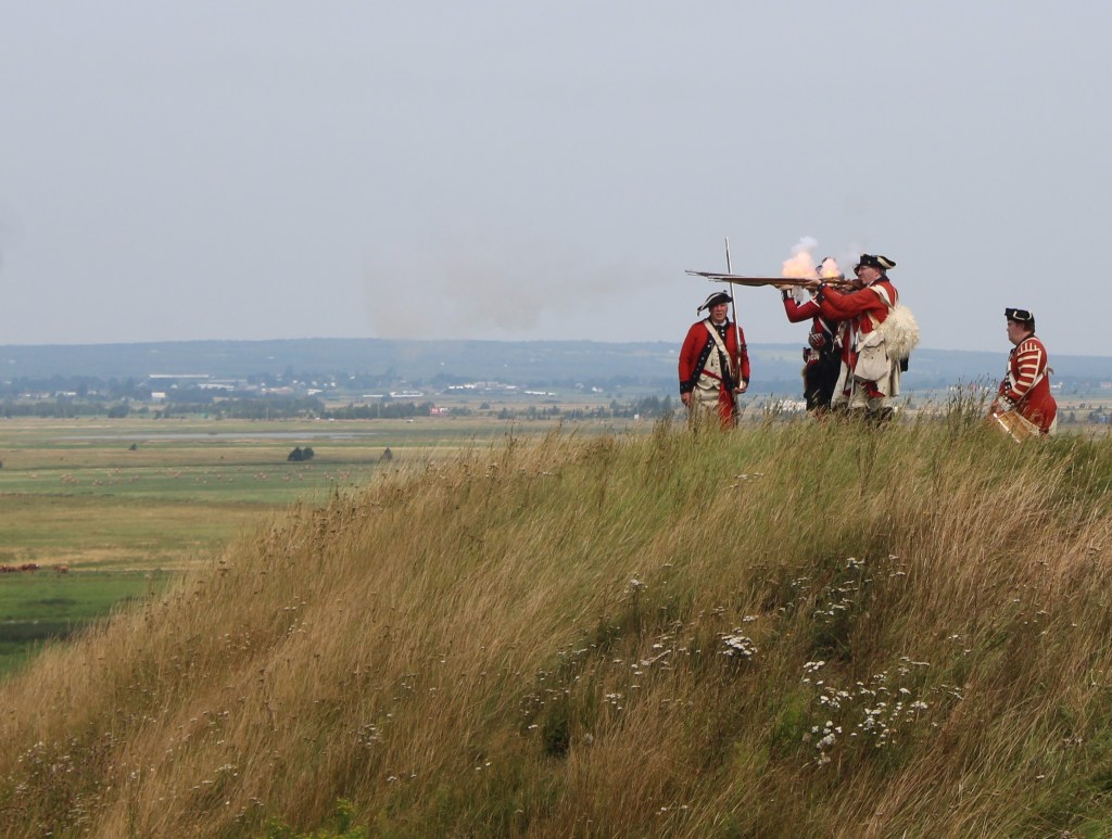
And they arrived, but not until after seven years of limbo. Once prosperous farms wasted away. Storms breached dykes and flooded farm fields, and no one was there to repair them. Eventually New England planters from Massachusetts and Connecticut along with English settlers from Yorkshire embraced the opportunity that Chignecto represented. For the British authorities it was a gamble, who to invite and who to exclude was key, farmers were favoured over former military men, and no one who wasn’t Anglo and Protestant could be considered. Of course being born in Britain or in the colonies did not always equate to loyalty, being English speaking and Protestant helped but still there was no guarantee. In a place like Chignecto, opportunity, autonomy, security and loyalty to a distant and often capricious administration combined to create fluid, changing and differing individual views on loyalty to the Crown.
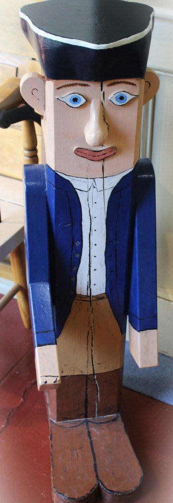
Still geopolitical and local politics were far from done with Chignecto and its people, it continued to be a tenuous and troublesome place to live. The months leading to the Declaration of Independence in July 1776 were as fraught with insecurity in Chignecto as elsewhere in the region. In October 1776, with the War of Independence raging across New England, Chignecto’s loyalty to the British Crown was tested, and a rebellion that could have seen Nova Scotia become the 14th state in the union was decided right here in Chignecto12.
With the political stability of North America finally beginning to emerge, Chignecto would again see a surge of new immigrants, the Loyalist refugees from New England. The arrival of more than 45,000 Loyalist refugees presented new challenges, delivering new forms of stress for families of the region13. Competition for land, political and social power would eventually lead to the formation of New Brunswick as a separate colony, entrenching an artificial boundary that might have impinged on this place but through it all, Chignecto remains…
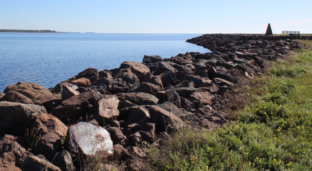
Where Chignecto takes me…
Like many who grew up in the Maritimes, my introduction to Chignecto was as a through-place, it was on the road to somewhere else. Of course I saw the hints, road signs, cairns, historic sites and commemorative events but they hinted at ‘institutional’ history, military history particularly, and quite honestly that does not interest me greatly.
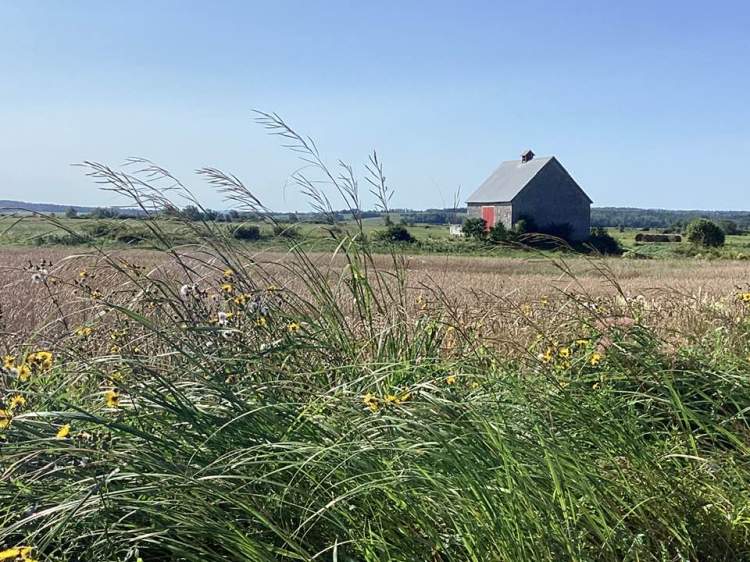
Living in Chignecto has changed my interest in its history, it has taken me in by pointing me to the landscape that dictated lives, that delivered security and denied it too, that demanded accommodation even in the thick of battle. The history of ordinary people of Chignecto is written in this landscape. When I visit Slacks Cove I think about Chignecto’s first Baptists, their leader Elder Mason but also Experience Baker. When I visit where the Aulac River meets Mount Whatley Road, of course I think about Rebel Leader Jonathan Eddy. But I also think about Olive Morse Eddy and Sarah Metcalf Davis. I think about women and children fleeing their burning homes to shelter from British troops on the Marsh.
Of course my thoughts lead to writing but to assure I am clear, My Mother’s Cookbooks’ wheelhouse is grounded in family connections and food. I recently encountered “Revealing the History of the Isthmus of Chignecto: Toward Truth and Reconciliation”14 by Anne Marie Lane Jonah. In it she describes her work this way: “This is settler history that aspires to converse with Indigenous history, but it is not an attempt to tell the Mi’kmaw story or explain the Mi’kmaw world view”. I consider her words a standard to live by.
So in addition to this glimpse at the Chignecto field notes, over the next weeks I will share a series of articles inspired by Chignecto, beginning with:
Covenant keeper – Experience Baker and the Swansea Baptists on Wednesday 28 October 2026
Fireweed and Rebellion – Families of Chignecto on Wednesday 25 November 2026.
Wednesday 9 December 2026 will see a return of the Atlantic Canadian Women of the Cloth series with Yorkshire Rose – Mary Field Wry and Tillie on Wednesday 9 December 2026
As usual each blog will include a recipe from My Mother’s Cookbooks …
Cheers, Elizabeth Lyons Morrison.
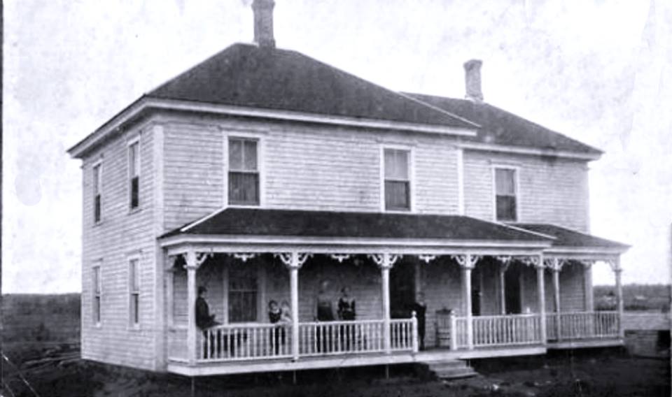
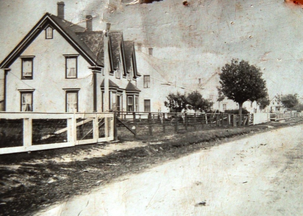
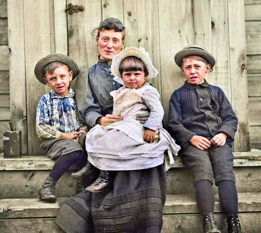
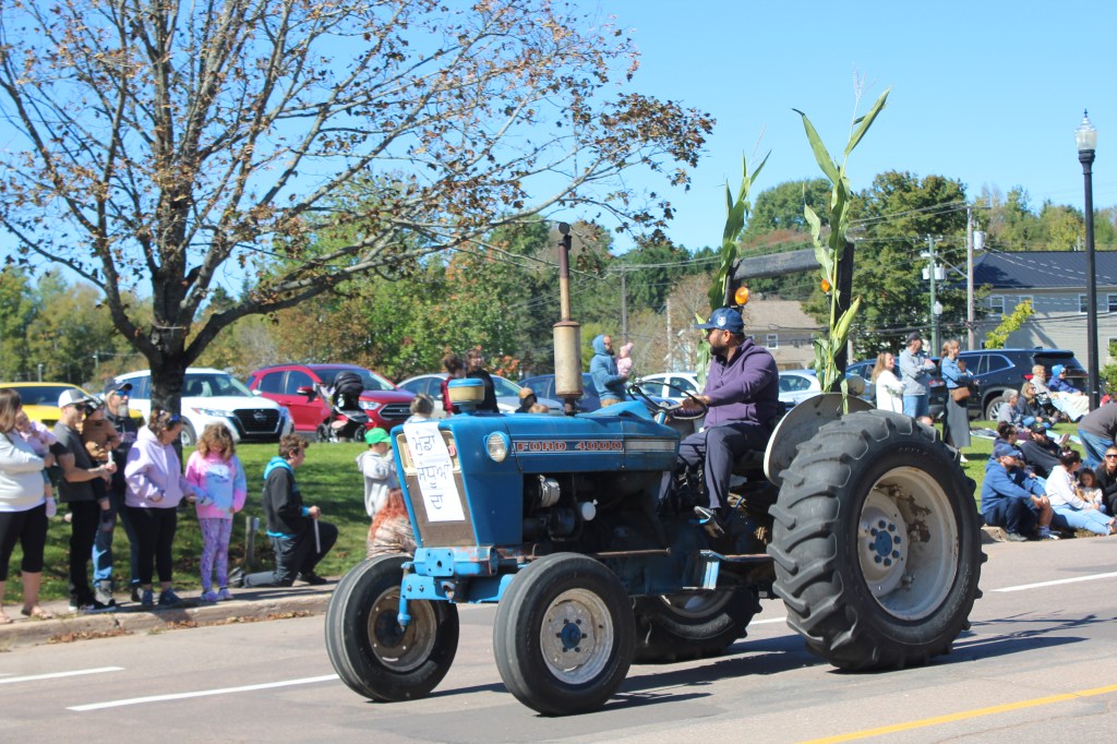
Through the lens of Experience:
Footnotes and Explanations:
- Siknikt Territory: “Siknikt/Sikniktuk translates to ‘a drainage place.'” Learn more about the boundaries and ancestral treaty history of the region via the Mi’kmawey Debert Cultural Centre ↩︎
- Ecological Connectivity: Explore how the land bridge acts as a vital ecological corridor for wildlife in this interactive Wabanaki-Acadian Forest StoryMap. ↩︎
- Mi’kmaq Cultural Landscape: Read a deeper analysis of traditional Indigenous worldviews and long-term relationships to the land in the Introduction to Mi’kma’ki Guide. ↩︎
- Bay of Fundy Tides: Discover the unique mechanics of basin resonance and funnel-shaped geography behind the world’s highest tides on Parks Canada. ↩︎
- Chignecto Historical Overview: Review the multi-perspective history of these ancient, shared landscapes in the Revealing Chignecto Exhibit Framework ↩︎
- Acadian Settlement Origins: Trace the life and lineage of merchant, surgeon, and Beaubassin founder Jacques Bourgeois through the Tantramar Heritage Trust. ↩︎
- Early Colonial Conflicts: Read about the devastating 1696 and 1704 New England frontier raids on the settlement via Fort Beauséjour’s First Warfare History Page. ↩︎
- The Burning of Beaubassin: Review the archeological evidence and the 1750 deliberate destruction of the community on the Canadian Register of Historic Places. ↩︎
- Acadian Expulsion: Read the full federal history and plaque text commemorating the 1755 Grand Dérangement on the Directory of Federal Heritage Designations. ↩︎
- Fort Gaspareaux Resistance: Explore the history of the sparse British occupation and the 1756 ambush of provincial soldiers at Fort Gaspareaux National Historic Site. ↩︎
- The Planter and Yorkshire Migration: Read about the massive resettlement shift from military control to incoming Anglo-Protestant farming families in the Settlers from Yorkshire Records. ↩︎
- The Eddy Rebellion: Read the month-long tactical timeline of Colonel Jonathan Eddy’s historical assault in The 1776 Siege of Fort Cumberland Chronology. ↩︎
- Loyalist Influx & Colony Separation: Track the post-war arrival of 45,000 refugees and the subsequent August 1784 boundary line split in The Canadian Encyclopedia’s New Brunswick Timeline. ↩︎
- Public History Collaboration: Review the complete methodology for connecting settler and Indigenous histories in Anne Marie Lane Jonah’s open-access paper, Revealing the History of the Isthmus of Chignecto: Toward Truth and Reconciliation. ↩︎
Acknowledgement: I acknowledge that the land on which I live and write about is the traditional unceded territory of the Wolastoqiyik (Maliseet) and Mi’kmaq Peoples. This territory is covered by the “Treaties of Peace and Friendship” which Wolastoqiyik (Maliseet) and Mi’kmaq Peoples first signed with the British Crown in 1725. The treaties did not deal with surrender of lands and resources but in fact recognized Mi’kmaq and Wolastoqiyik (Maliseet) title and established the rules for what was to be an ongoing relationship between nations.